Our Aims
Our image of the cities of the Iberian Peninsula and North Africa has been radically modified by the research of the last three decades: from the perspective of Antiquity studies, the strength and relevance of the cities as centres of government remained uninterrupted between 300 and 800. Politico-military events such as the “crisis of the third century” or the invasion of the Vandals seem to have had little impact on urban life. It is not decline, but transformation, that characterises their urbanism, just as the functions performed by its social elites are characterised not by change, but by continuity.

Creating an ATLAS using Open Access WebGIS
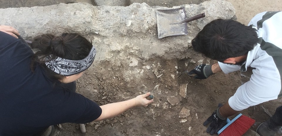
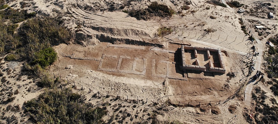
This communis opinio, however, has surprisingly little material basis. For this reason, this project aims to produce an atlas (WebGIS in open access) mapping a set of cities located in the ancient provinces of Baetica and Africa Proconsularis, two thriving regions that, due to their high level of urbanity, can be considered paradigmatic in terms of urban research. For the first time, this atlas will record all the documentary evidence required so as to reconstruct the history of the cities of Late Antiquity: not only material remains, but also epigraphic monuments and literary evidence across the whole spectrum. ATLAS’s research will focus on the period between the 3rd and 8th centuries.
Selecting case studies from two regions entails, from a methodological point of view, a novelty: the comparison of different cases which are structurally similar will make it possible to discover correspondences or discrepancies between these two regions, and to reach fruitful conclusions for the evaluation of the regional situation as a whole. This comparative research on the cities will only be possible because ATLAS combines the German research expertise in the fields of ancient history and epigraphy on the Iberian Peninsula with the French expertise in the field of archaeology, both on the Iberian Peninsula and in North Africa.

A new narrative of late antiquity
The collection and analysis of documentary evidence will lay the foundations for a new narrative of Late Antiquity which, unlike previous studies of the cities of this period, is not based on analogies and therefore does not tend to generalise. Through the detailed examination of sources of all kinds, combined with a methodologically clear comparison, differences will be established within the framework of the six centuries covered by this study. The visualisation of historical developments in the form of thematic maps is an indispensable contribution to this end.
Thus, ATLAS will involve a significant enrichment in the research of cities and their close connections to the social history of power, in the context of the open and dynamic field of research comprised between Late Antiquity and the Early Middle Ages. In order to facilitate access to a wider audience, ATLAS will also present its results as digital recreations, shown in a travelling exhibition where the public will access late antique urban environments from Late Antiquity in a direct and personal way.

