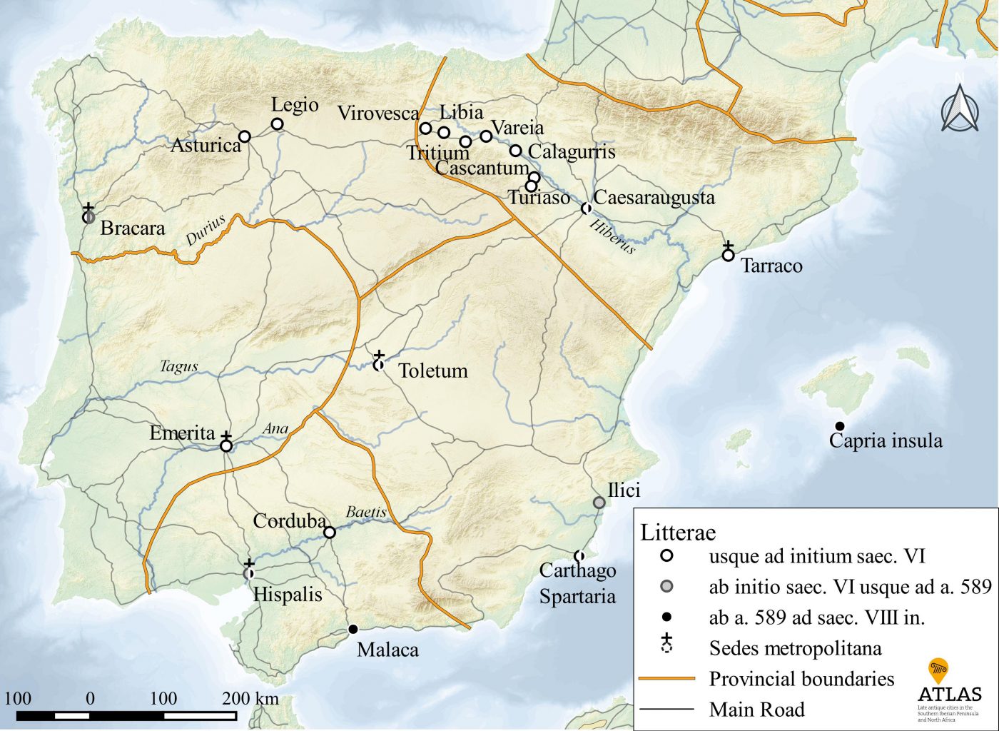
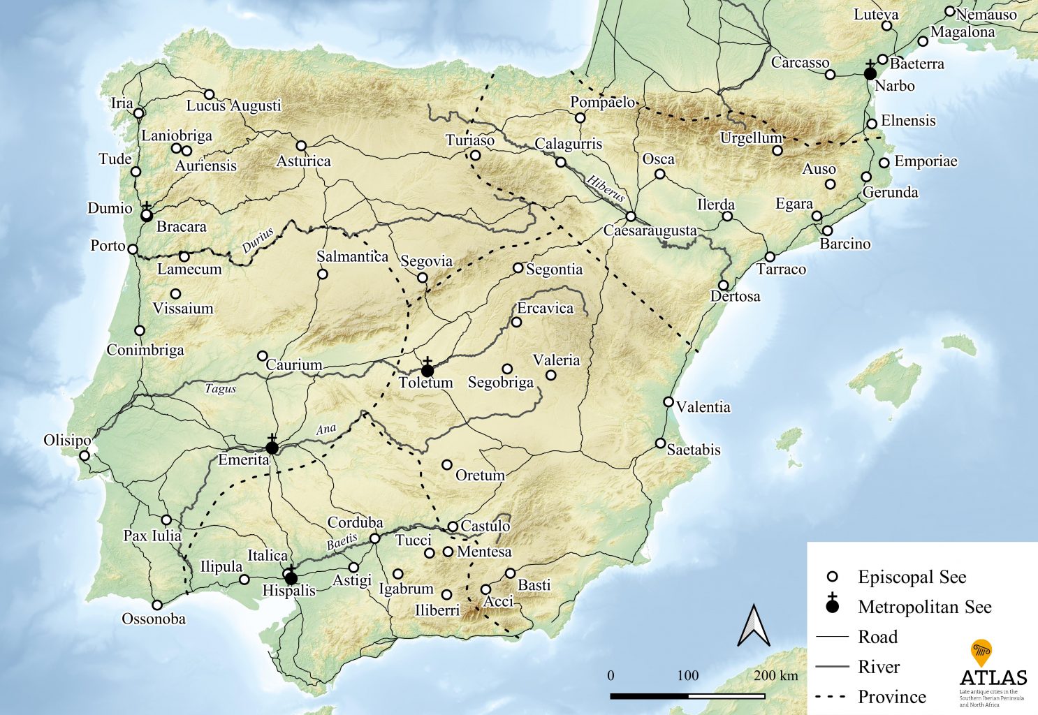
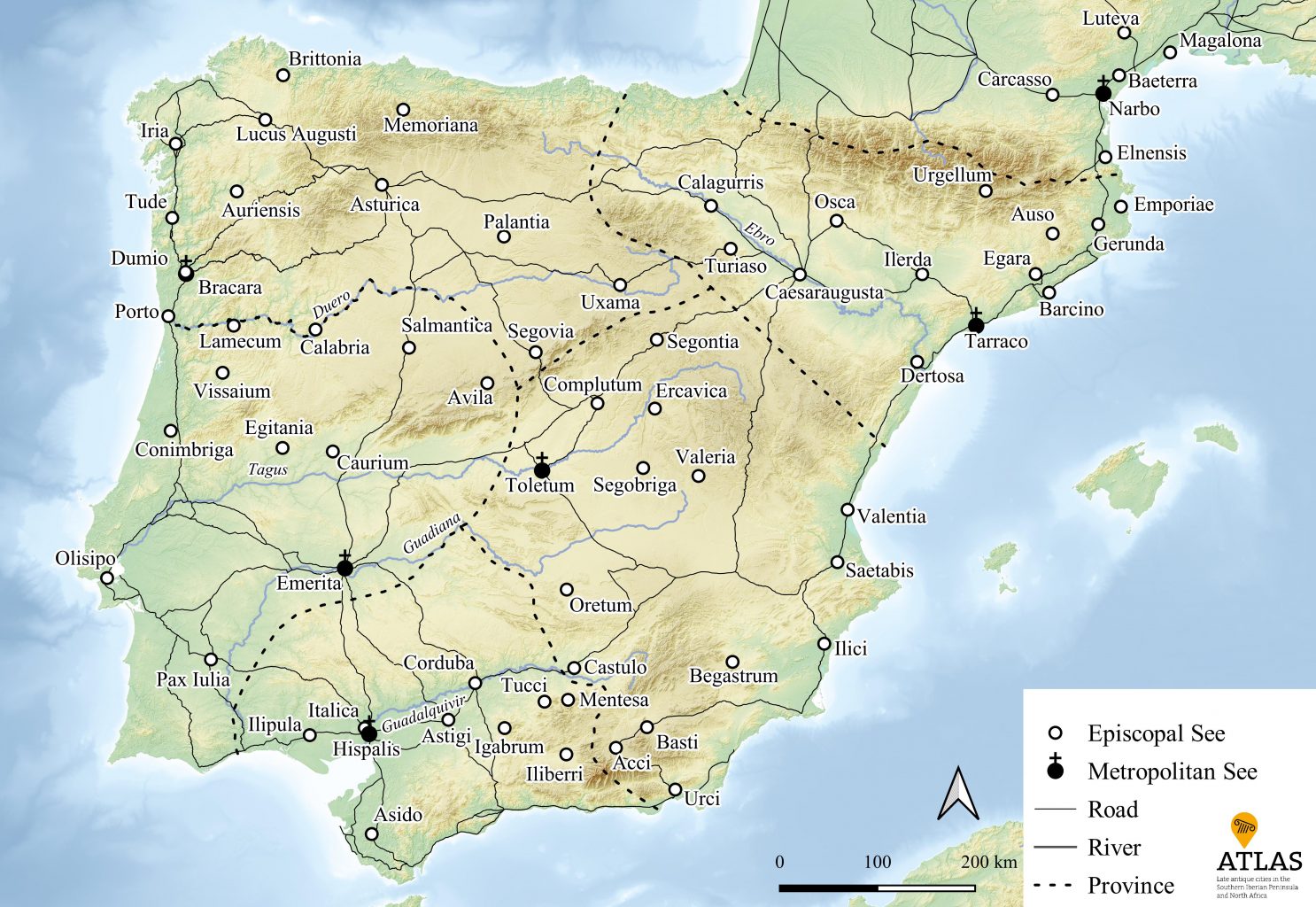
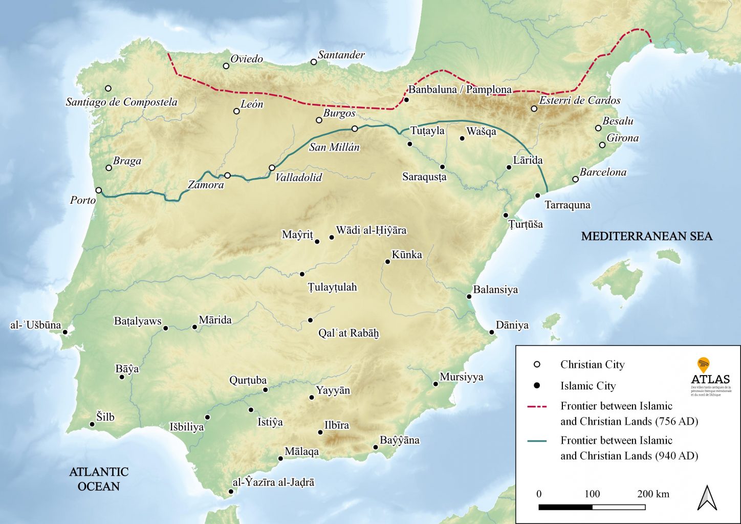
Welcome to the Maps-to-go page!
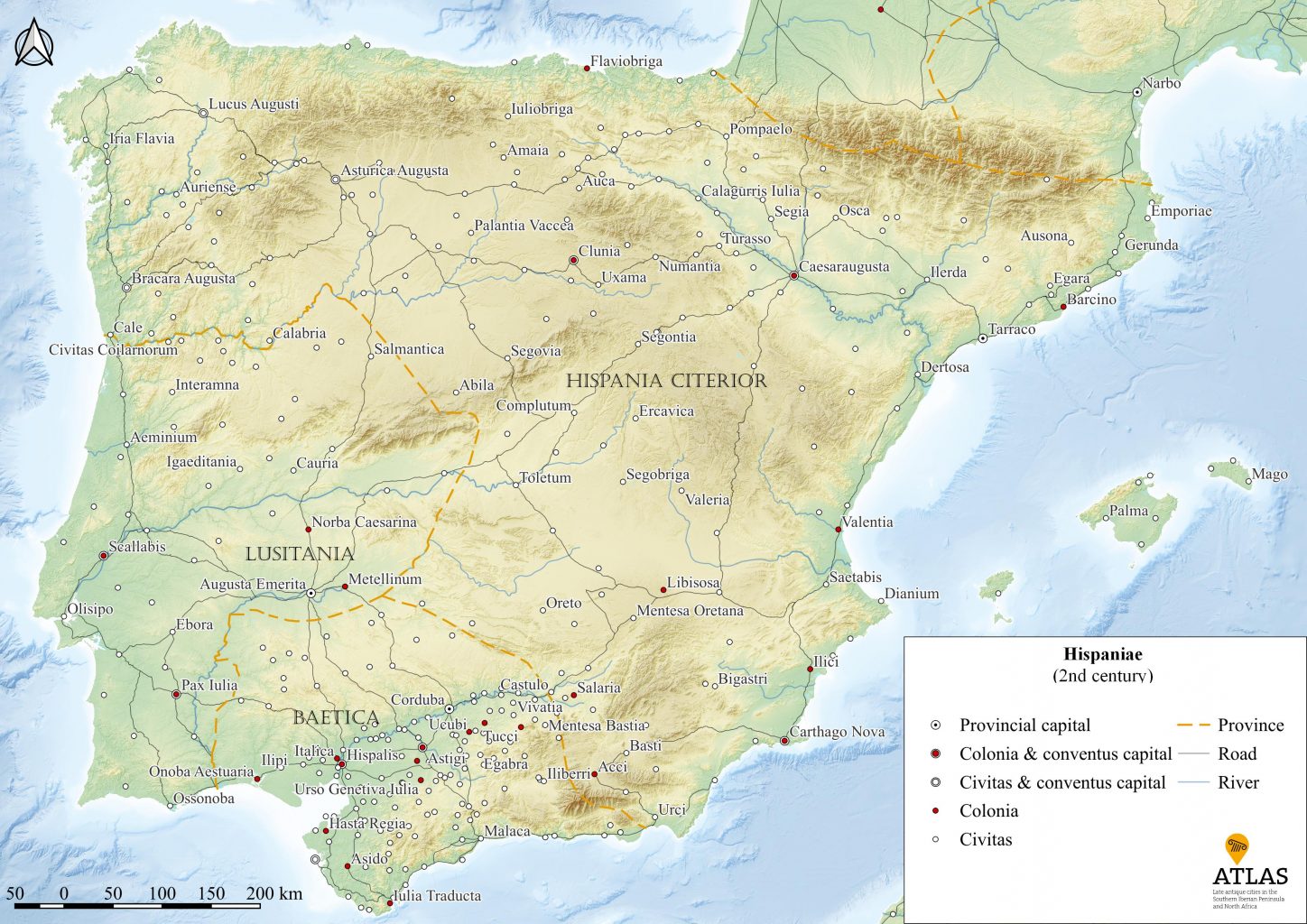
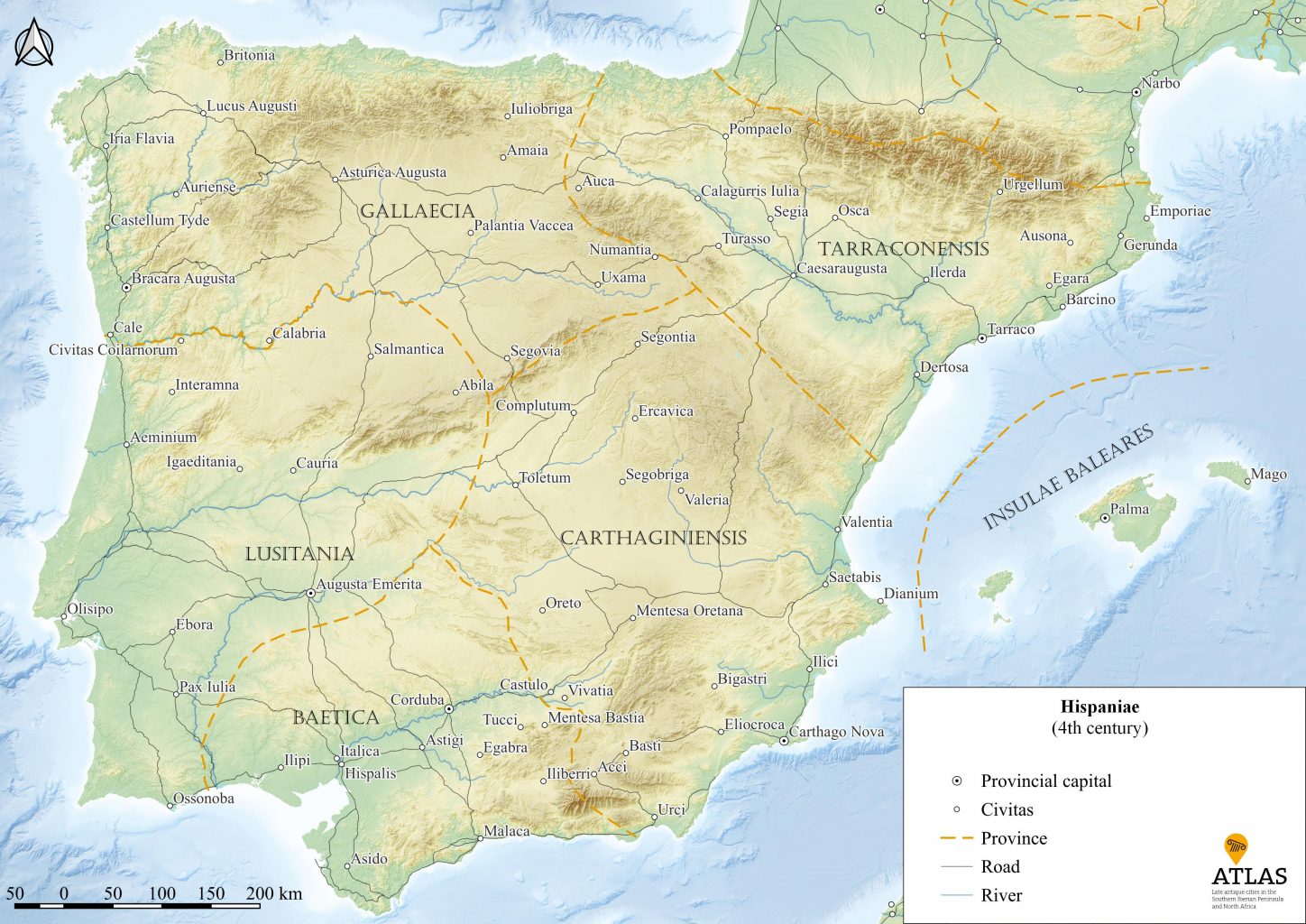
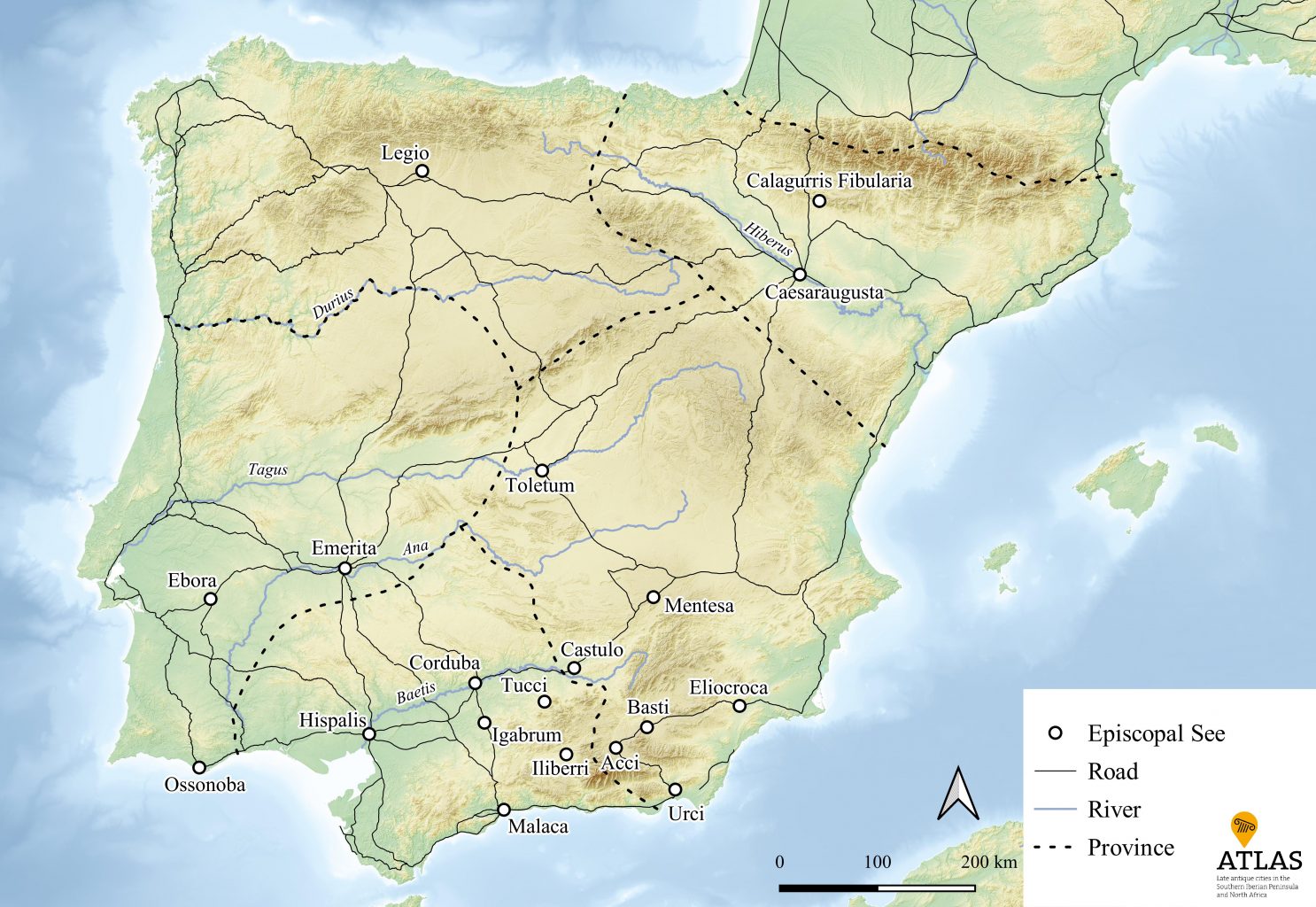
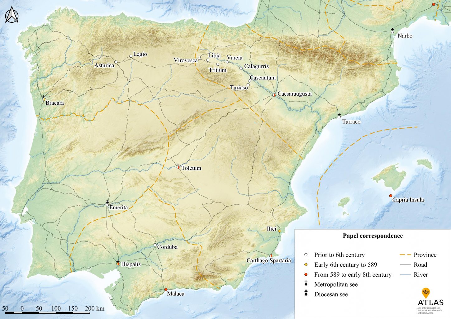
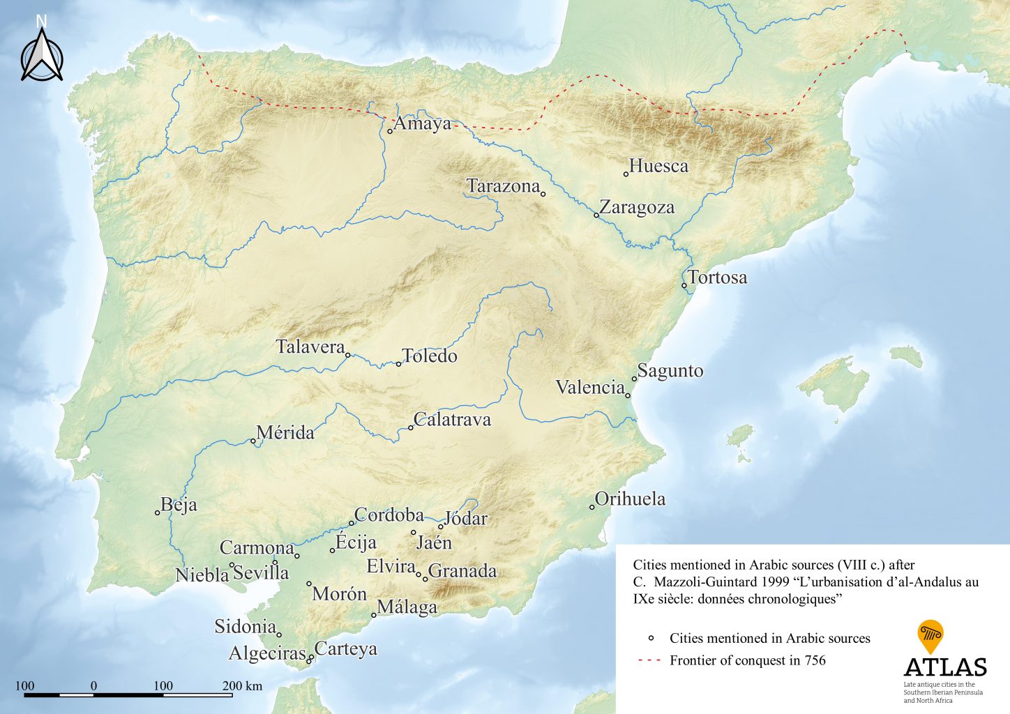
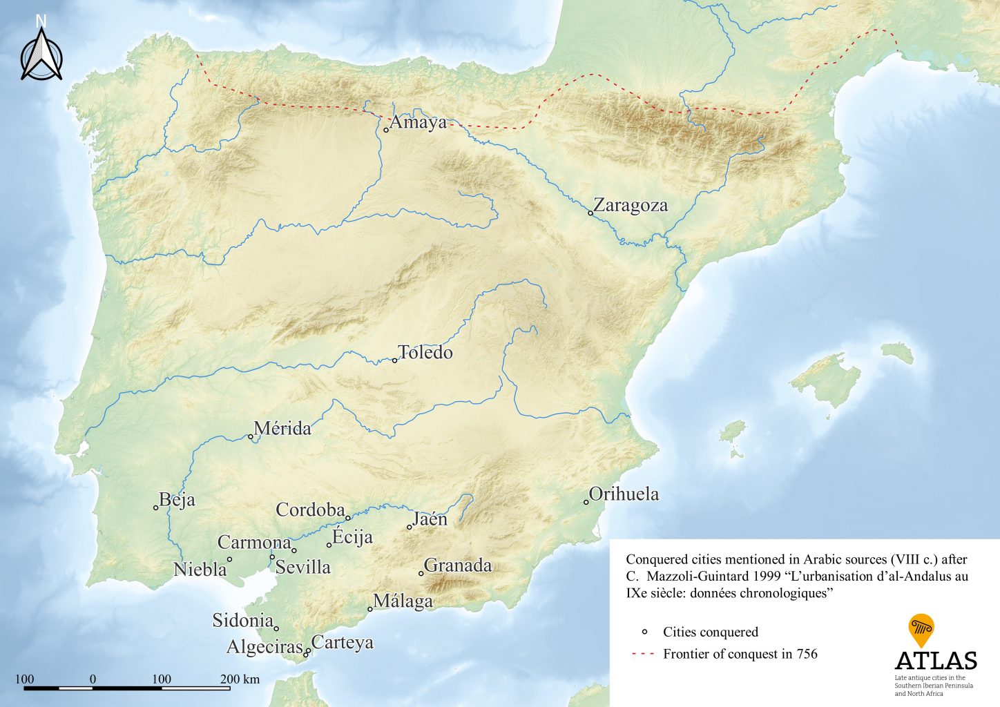
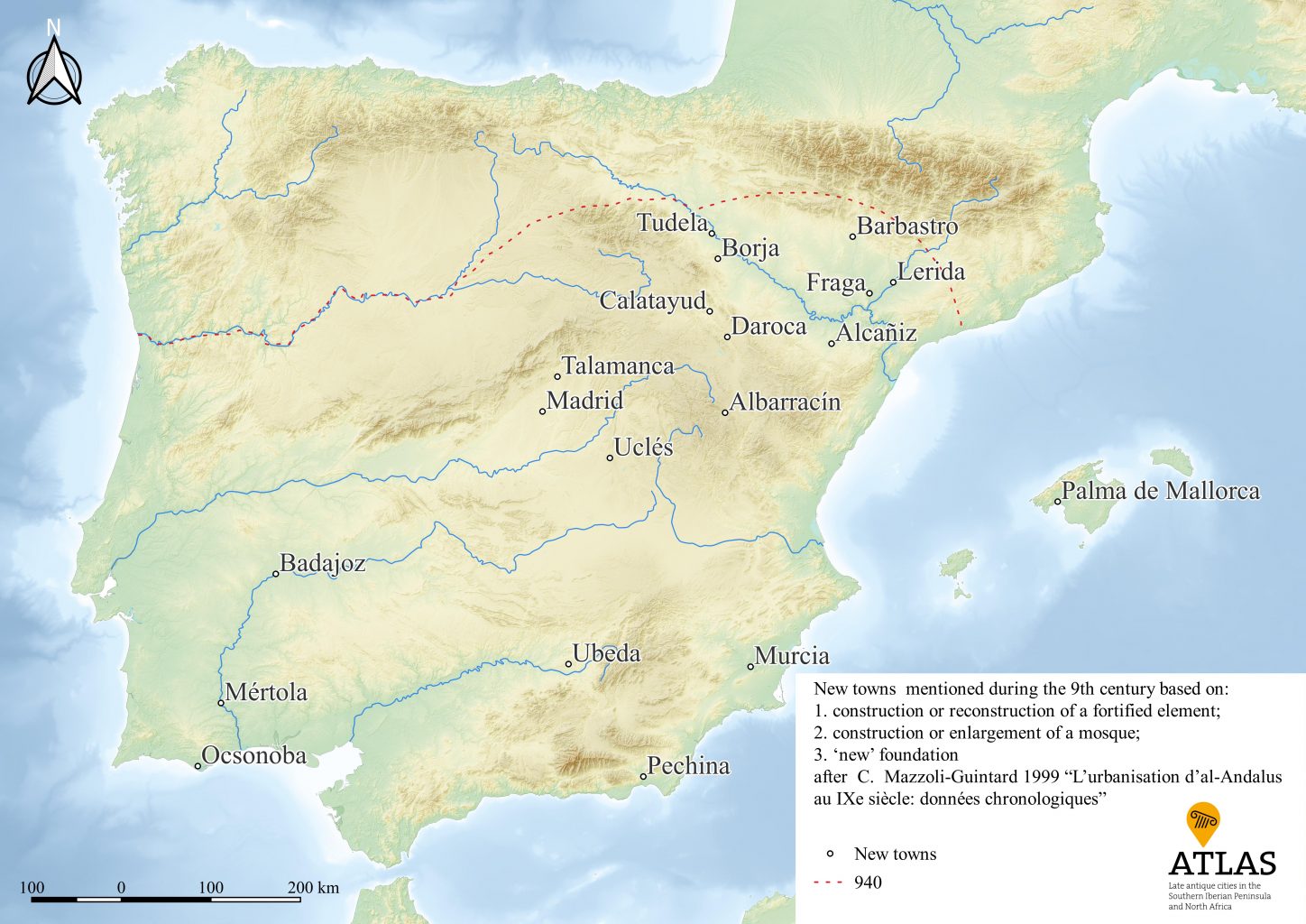
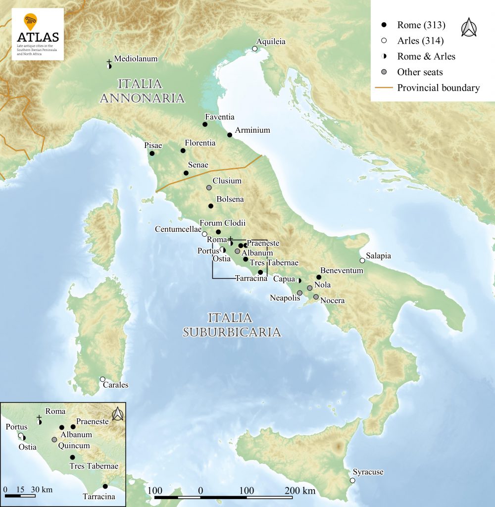
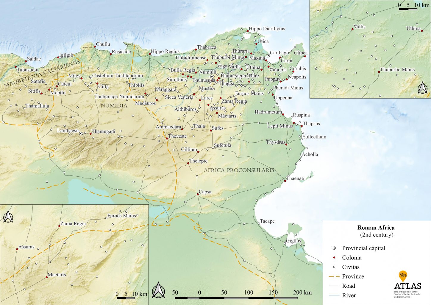
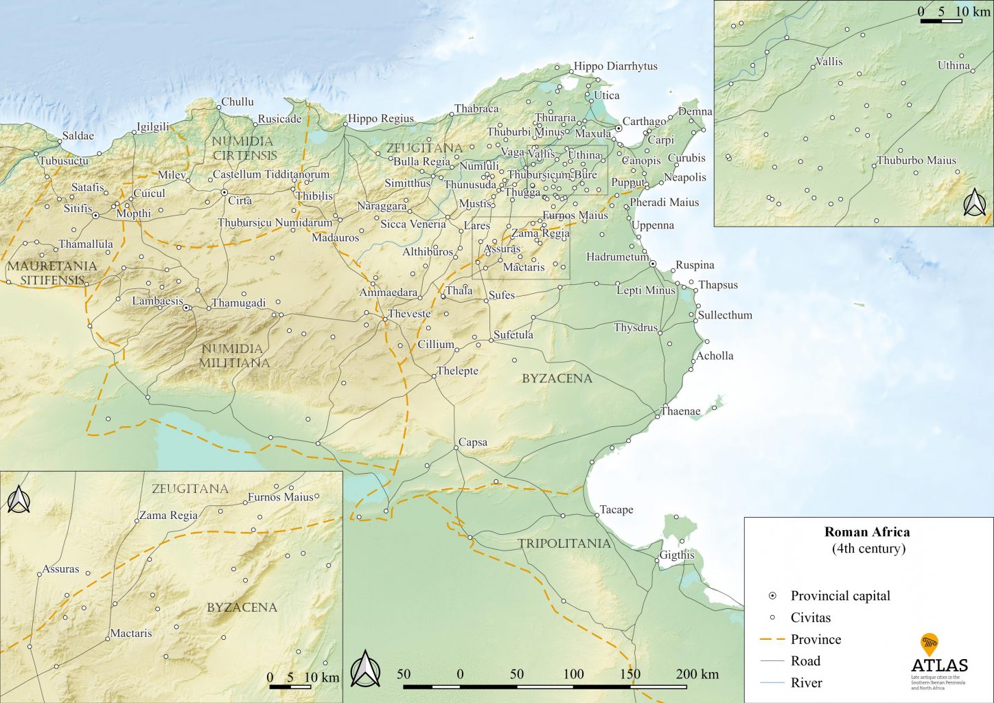
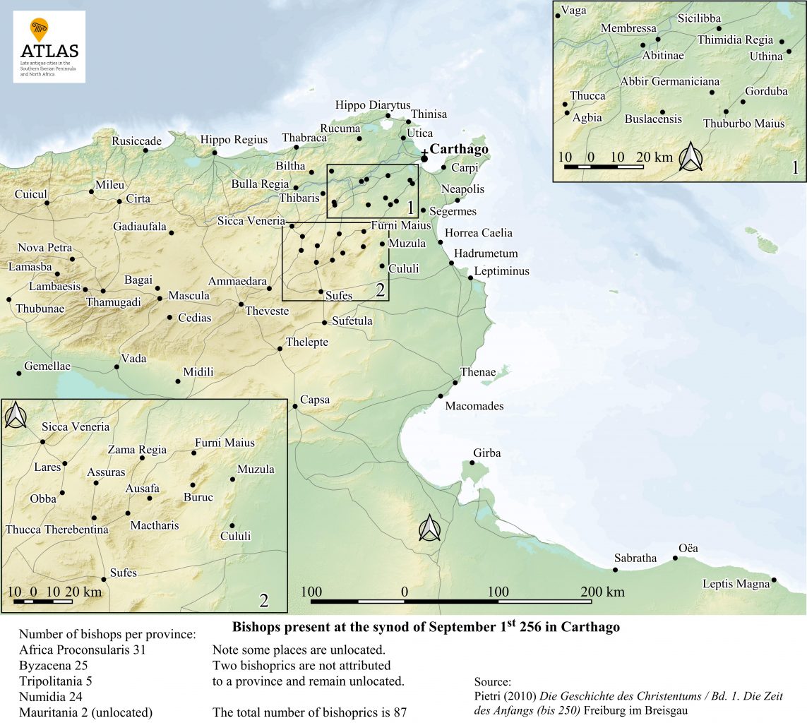
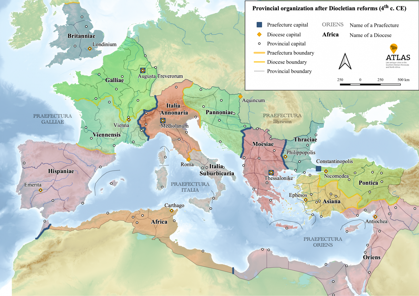
At this page you will find maps that have been created and published within the ATLAS project. All maps can be freely downloaded and used with acknowledgement of the ATLAS-project (CC-BY-NC). You will find the reference in the data of the image. Note that the maps are in the language of the original publication. All maps have been created by the ATLAS team (our student assistants Lilian Fischer, Tjaard Jantzen and Sebastian Meyer led by Pieter Houten) and are based on our collaborative work.
See the blog of February 2023 for a description of the work done by our team. Given the end of the first phase of the project, from April 2024 on, Martin Horst is responsible for the section.
